
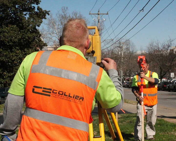
Land Surveying
Our surveyors collaborate closely with clients, engineers, and project managers to deliver professional survey services in a timely and efficient manner. We have the capability of running multiple crews to meet our customers’ needs and expectations. The biggest asset of our Survey Department is the range of experience that comes with over 75 combined years in the field. This experience enables us to provide a range of services utilizing the latest GPS and robotic technology, in conjunction with traditional methods.
Services we provide
Boundary Surveys
As-Built Surveys
Topographic Surveys
ALTA Surveys
Construction Layout
Traffic Data Collection
Bike and Pedestrian Counts
Our Survey team provides accurate and reliable data for boundary surveys, topographic mapping, ALTA/NSPS surveys, construction staking, and more.
Request a Survey
Please include:
Your name
Phone number
Email address
Property address (and parcel ID if available)
Details of the survey needed (type of survey, deadlines, site access notes, etc.)
A team member will review your request and follow up promptly to confirm scope and scheduling.


Select here to see more projects
Registered Land Surveyor

Troy D. Walls, RLS
Assistant Survey Manager

Summer Touloeisani